
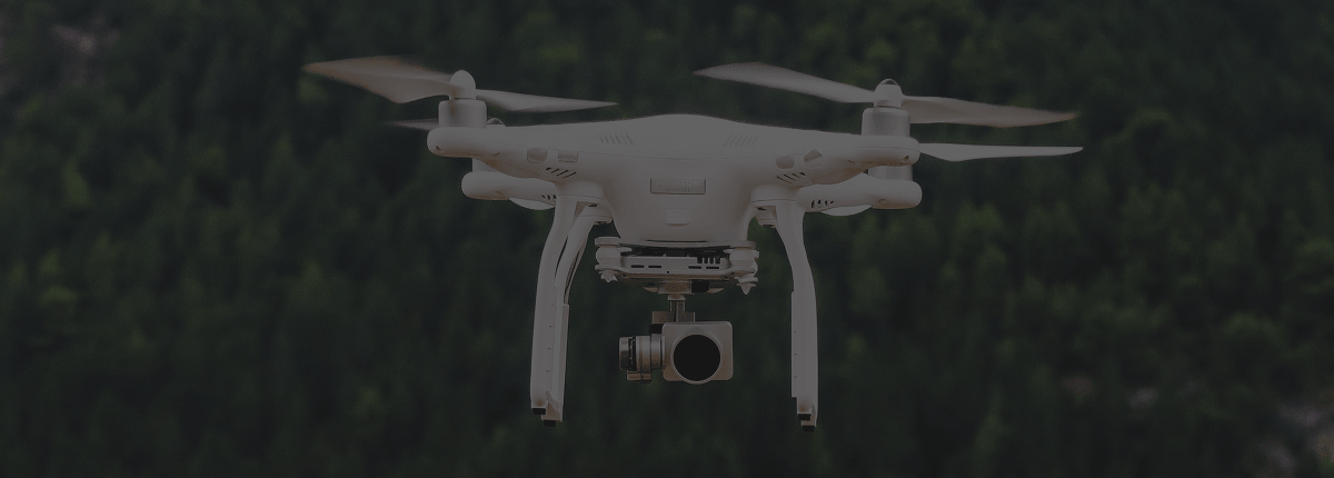

Survey and mapping platforms for professional workflows. Accuracy depends on sensors, RTK/PPK, flight planning, and processing — not the airframe name alone. Vectra Unmanned Systems provides educational context and does not claim authorized-dealer status for any manufacturer named below.
Mapping is where unmanned systems earn their keep for survey, AEC, mining, agriculture, and infrastructure teams. These five categories of platforms dominate serious photogrammetry and related work in 2026.
1. DJI Mavic 3 Enterprise — best portable professional photogrammetry workhorse
Mechanical shutter, mature enterprise software ecosystem, and RTK options make the M3E the default compact mapper for many firms producing orthos, volumes, and site documentation without a full heavy-lift stack.
2. DJI Matrice 4E — best next-gen compact enterprise mapper
Newer enterprise mapping workflows and automated mission features appeal to teams covering large sites or buildings who want current-generation DJI enterprise tools in a deployable package.
3. WingtraOne GEN II — best VTOL fixed-wing for large-area coverage
When acres and corridors matter more than hovering inspections, VTOL fixed-wing platforms like WingtraOne excel at efficient high-accuracy mapping with survey-oriented sensors and PPK workflows.
4. Autel EVO II Pro RTK — best widely cited non-DJI RTK multirotor option
Teams evaluating alternatives for RTK photogrammetry often shortlist Autel’s RTK multirotors for high-resolution mapping without a DJI-centric stack. Validate support, geofencing policy, and spare parts for your region.
5. Freefly Astro (with mapping payload) — best US-ecosystem mapping multirotor path
For operators prioritizing US-centric ecosystems and high-resolution payloads (for example full-frame mapping cameras), Astro-class aircraft remain a serious conversation for professional mapping and inspection adjacent work.
Before you buy a mapper
- Match sensor (mechanical shutter, GSD targets) to deliverable accuracy
- Plan RTK/PPK, NTRIP, and ground control — the drone is only one piece
- Confirm software (Terra, Pix4D, DroneDeploy, etc.) and training for your crew
- For federal or NDAA-sensitive work, filter platforms early — not after procurement
Vectra helps organizations think through unmanned platforms for air, land, and sea missions. Contact us to discuss your mapping or survey use case.
One response to “Top 5 Mapping Drones for Survey and Photogrammetry (2026)”
[…] or scouting drone is a practical way to learn where a sprayer would actually pay off. Our posts on mapping drones and inspection drones are a good place to […]